
Toggle 3D
Map labels
Map theme
Find out more
Fly to a location
Toggle map layers
Explore West London


SPONSORED BY


SUPPORTED BY


BROUGHT TO YOU BY

London, and its West London sub-region particularly, benchmarks
against eight other global cities (defined by A T Kearney) as
Our assessment integrates metrics analysing 'connectivity' through the lenses of: Cultural/ familial links/ mindset; Transport; Internet; and Ease of doing business.
London ranks #1 globally for diversity of languages spoken. 44% of West London residents were born outside the UK, well ahead of the London average of 37%, and providing phenomenal familial links across the world (London global ranking #2; Singapore #1).

London's food diversity is second only to New York. Of the 89 countries to be found in a tour of the city's restaurants, 37 can be found in West London. London citizens rank second only to Beijing for their global citizenship attitude.
West London is the UK's hub for television, film and online content production. While London is responsible for 75% of the UK’s film and TV economy, the Great West Creatives Enterprise Zone alone accounts for 46% of London's broadcast employment.
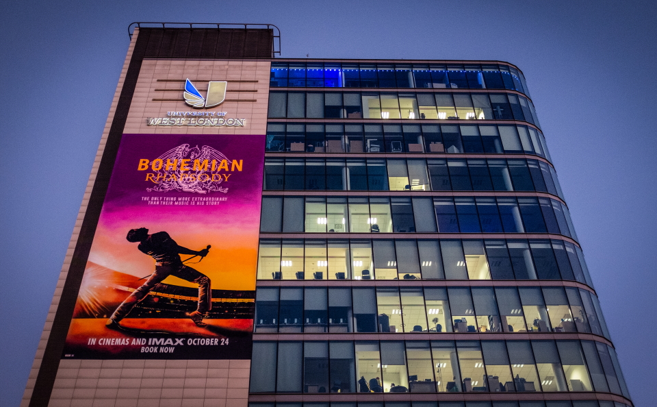
West London is home to major film studios (e.g. Pinewood, Ealing, Osterley); major Film/TV/Video/Game companies (e.g. Sky, Disney, ITV, Pokemon, Discovery, Sega, History Channel, Vue, QVC, Paramount); innovative smaller businesses and much of London’s broadcast talent.
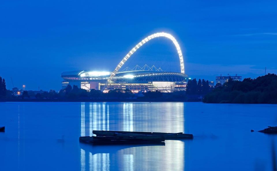
The OAG Megahubs International Index 2018 ranks Heathrow airport, West London, as the world's most connected airport.
In Summer 2018, the UK parliament voted by a huge majority to expand the airport with a third runway.
With 49% of journeys on public transport, London ranks second only to Hong Kong amongst global cities in The Deloitte City Mobility Index.
In West London Crossrail is already operational, our local authorities
are working in close partnership to mobilise investment in a West
London Orbital overground line, a Brentford-Southall Crossrail link,
as well as Southern rail link in/out of Heathrow.
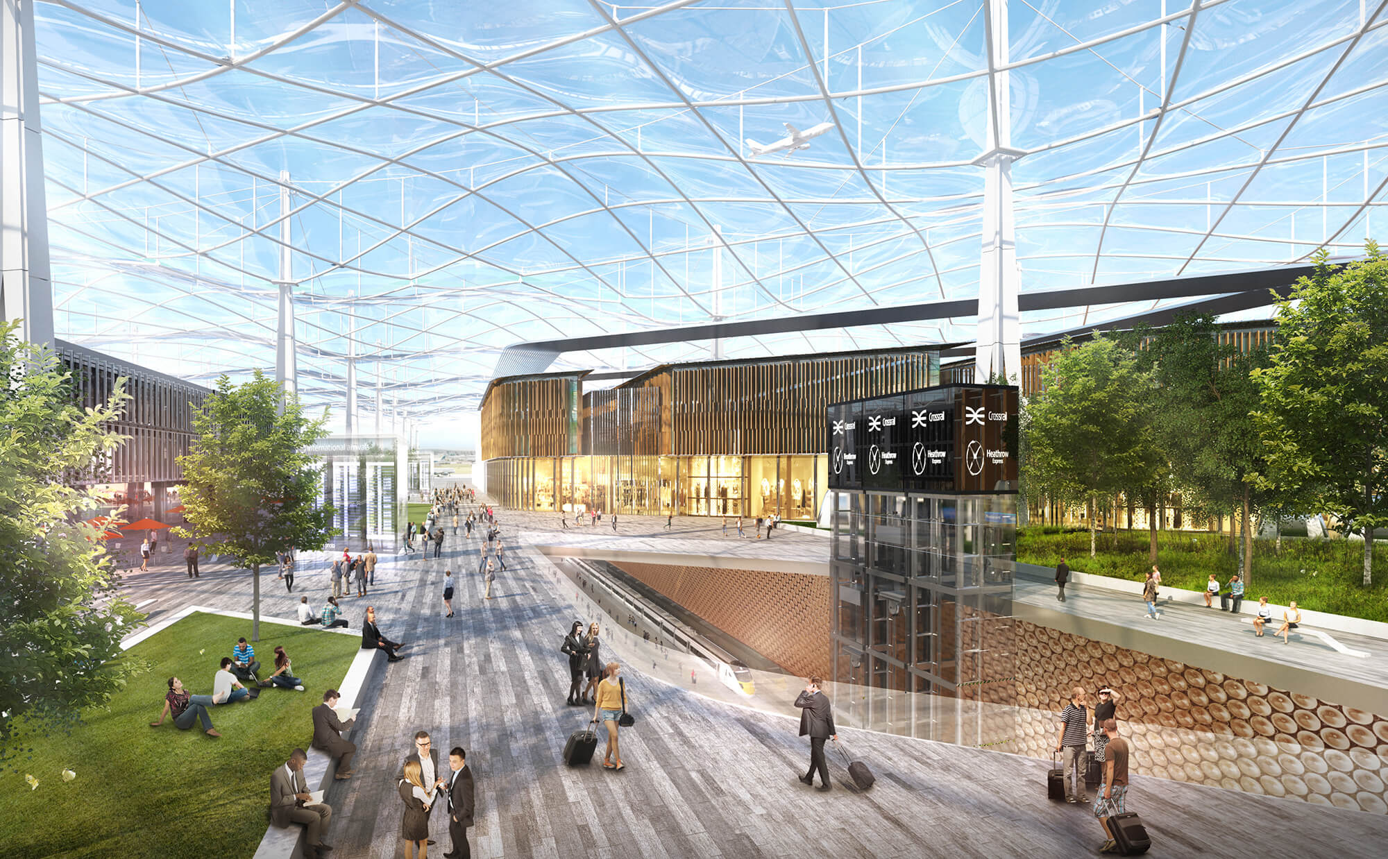
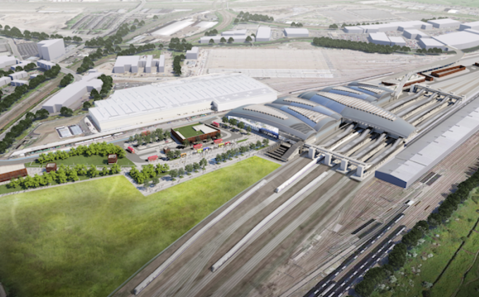
At Old Oak, designs are in planning for the UK's largest station
built in 100 years where HS2 will connect with Crossrail.
The Global Connectivity Index ranks London #2 (Singapore #1) amongst global cities for International Internet Bandwidth. Many of these global links run through West London, also supported by highly specified Data Centres.

Our local authorities are working alongside the private sector to mobilise more investment in our fixed broadband and mobile connectivity.
The World Bank ranks the UK #2 globally for 'Electricity supply' and 'Trade across borders', #6 globally for 'enforcing contracts' and #3 globally for 'Starting a business'. 19,000 new businesses started in West London in 2017. In West London we support new businesses with a network of Incubators and Accelerators, backed by our universities including Brunel and Imperial College London.
London is home to 17 universities out of the top 200 universities
for international students/graduates (World University Rankings 2018)
making the city number one in our Global City benchmark.
These exceptionally high global rankings are why our West London
Explore partners all choose to design, invest, build and own
assets in West London.

This site was
built on Explore and is actively maintained by Deetu.Welcome to West London Explore – an interactive guide to the world's most connected place and the investment driving its growth.
West London is home to 2 million people & 120,000+ businesses
underpinning a £73bn+ GVA economy. Larger than Brussels or Frankfurt,
it is where London welcomes the world and where many world-leading
businesses from Coca-Cola European Partners to GSK are proud to call home.
Key business hubs are: Bedfont Lakes, Chiswick Business Park,
the Golden Mile, Park Royal, Stockley Park, White City and Uxbridge.
West London is also an extremely green place with 13,000 hectares
contributing to the 'London National Park City'.
For further information on any of the schemes and opportunities shown on this map, please visit Capital West London or West London Business, or contact the team.
The Workary, 1 Dukes Avenue, W4 2AB
+44 (0)20 8607 2500
info@westlondon.com
Explore West London's key transport, regeneration and cultural schemes
and opportunities in detail, by clicking the
![]() button.
button.
Travel directly to key West London hubs and Opportunity Areas
by clicking the dropdown menu
flight_takeoff
in the top right-hand corner of the map.
Additional layers can also be accessed in the main menu
 and clicking on a map pin will bring up key metrics about that location.
This site is to be used as a marketing and investment tool only and not for architectural or design purposes. Buildings, sites and features are represented as approximations of their true dimensions and the map does not account for terrain.
The data within the model is derived from a variety of open data sources and we thank the organisations attributed below for its provision.
| Data Source | License |
|---|---|
| Environment Agency Open Data | Contains Environment Agency information © Environment Agency and database right , licensed under Open Government License. |
| OS Open Data | Contains Ordnance Survey data © Crown copyright and database right . |
| OpenStreetMap Contributors | Contains OpenStreetMap data and derived data licensed under the Open Database Licence. |
| Crossrail Open Data | Contains public sector information licensed under Open Government License. |
| Consumer Data Research Centre | Contains population data derived from National Statistics open data from the 2011 Census. |
Images and text have been provided courtesy of West London Business. Flag icons provided by Flaticon.
This site was built on Explore and is actively maintained by Deetu. To find out more, please get in touch.